Cofinanced by:
Compete Logo Portugal 2020 Logo União Europeia Logo

Find other stages here

  • Stage Duration
    28 Km
  • Duration
    07h00
  • Difficulty
    Difficult
  • Maximum Altitude
    62m
  • Type of Surface
    Earth and Asphalt

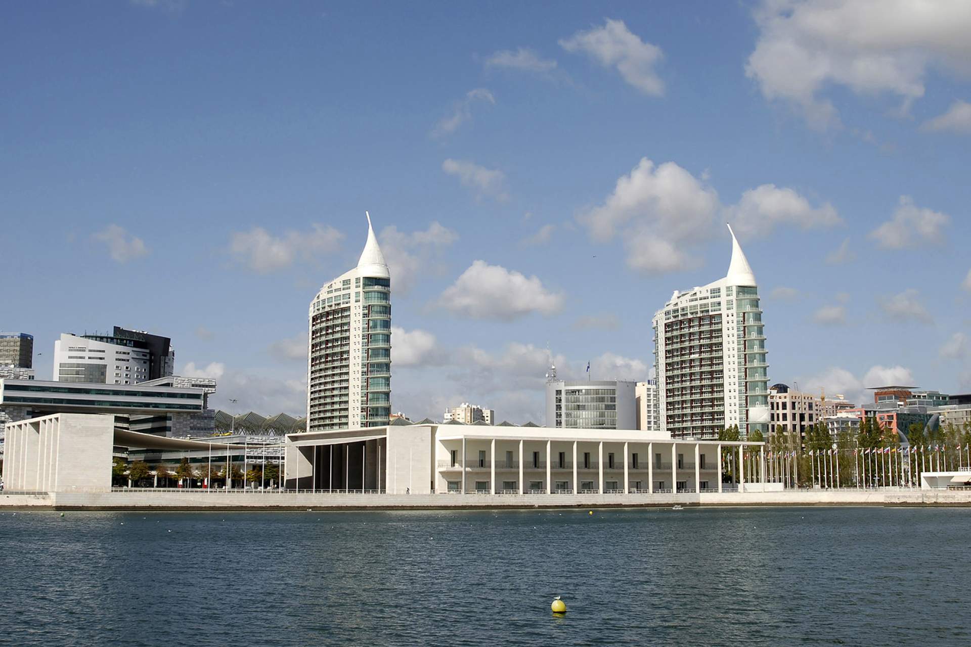
Parque das Nações - Vila Franca de Xira

Along the Tagus Estuary.

Between Loures and Vila Franca de Xira, a walk of 28 km can be covered in around 7 hours.

This second day of the route is set against the incomparable beauty of the Tagus estuary landscape, where the water is dotted with mouchões or islets and the tributaries and riverbanks create a jagged river bank. The riverside landscape is mostly made up of tilled floodplains and small villages, where the natural ecosystem of the varied traditional fauna and flora is maintained. The hillsides give the landscape a natural frame, dotted with centuries-old olive trees, old rural villas, farms, churches, chapels and fountains.  This journey features both exclusively pedestrian and mixed sections.

Read more > Read less
Points of Interest
Close List Points Interest
 
Zoom out
Zoom in
Print Map
Full Screen Map
Current Location
Caminhos da Fé
Obrigado!
Loading
Por favor aguarde...